Under our initiative of ‘Ignite the GIS spark’ – promoting GIS amongst young generation of India is our primary mission. We are constantly working on spreading GIS awareness since last 5 years.
We visit different colleges and universities along with our team of experts to make students and professionals aware about future technology by conducting free seminars and workshops.
We have covered around 100 colleges and universities in and around Delhi/NCR in academic fields like Geography colleges, architecture colleges, School of urban planning, Computer science & application colleges, civil engineering etc. We also conduct free demo classes and technology tours for students and working professionals at our campus.
100’s of students and professionals have benefitted from our initiative by learning GIS to stepping ladder of bright future.
We are involved in conducting seminar and awareness programme related to Photogrammetry and geo informatics in different colleges and university. IPGI imparts state of art programmes in various aspects of Photogrammetry, Remote Sensing and GIS. The institute is well equipped with all the latest software’s and equipment currently used in mapping industry. Unlike the other institutions, IPGI believes in giving more and more practical based training in order to prepare the “Industry Ready” GIS skilled workforce who are actually ready to participate in live project from their first day in Job.
Geo-Informatics in India
Geospatial technology broadly includes mapping and surveying techniques, remote sensing,
Photogrammetry, cartography, Global Positioning Systems (GPS) and Geographical Information
System (GIS). With its unique ability for acquisition, integration and analysis of geographically referenced spatial information, this technology has in recent times been recognized as an effective
tool for planning, management and decision making locally and globally. Geospatial technology has made inroads across various sectors in the public as well as private domain in India. The major sectors using geospatial technology in India are: agriculture, telecommunications, oil & gas, environmental management, forestry, public safety, infrastructure, logistics etc. This clearly speaks the employment opportunity available for young graduates in various industry sectors in India.
Objective of conducting seminar:
- To create awareness of Geo Special technologies amongst young graduates
- To help students understand the future of Geo-Informatics
- To explain the advantages of choosing GIS as their career option
Few clicks of seminar conducted by IPGI:
[wrc_column grid=”3″ width=”1″ type=”start”]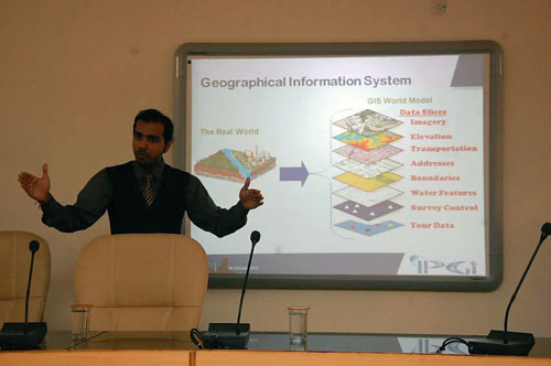 [/wrc_column]
[wrc_column grid=”3″ width=”1″]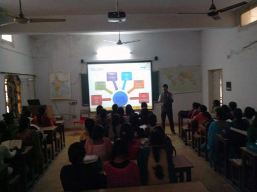 [/wrc_column]
[wrc_column grid=”3″ width=”1″] [/wrc_column]
[wrc_column grid=”3″ width=”1″]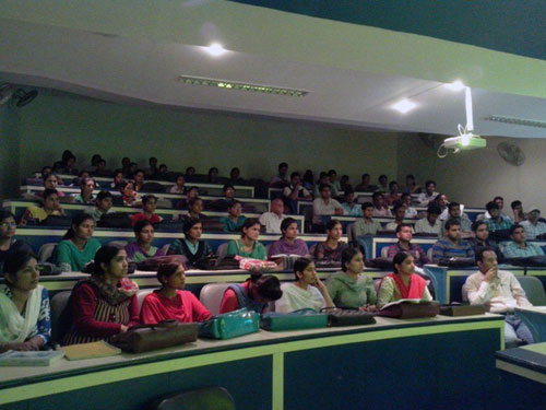 [/wrc_column]
[wrc_column grid=”3″ width=”1″ type=”end”]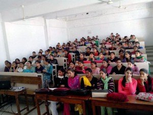 [/wrc_column]
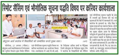
IPGI in NEWS:
[wrc_column grid=”3″ width=”1″ type=”start”] [/wrc_column]
[wrc_column grid=”3″ width=”1″]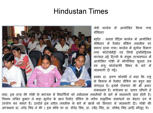 [/wrc_column]
[wrc_column grid=”3″ width=”1″ type=”end”]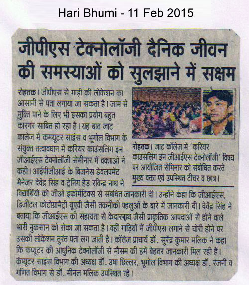 [/wrc_column]